


Geospatial Intelligence: Revolutionizing Property Insurance Industry
Geospatial intelligence is an emerging solution that will soon become every insurance company’s toolbox. It is a combination of geospatial data coupled with artificial intelligence (AI) and computer vision driven analytics which derives business insights using imagery from satellites, drones, manned aircraft, or other sensors.
Geospatial imagery and computer vision is set to transform the way property insurance underwriting will be managed in future. We delve deeper into the ways in which geospatial imagery and computer vision enhance property insurance underwriting.
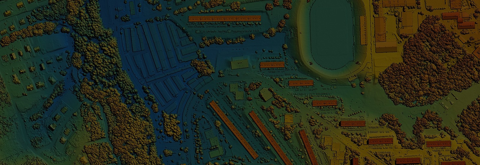
Geospatial Imagery: The shrinking cost and size of new age satellites has greatly increased the quality of geospatial data that is captured and transmitted. There are many such geospatial satellites orbiting the earth which produces huge amounts of videos and images with an accuracy of one meter. In addition to this, massive amount of high-resolution videos and imagery is also captured from reconnaissance planes and drones. Availability of high-resolution video/imagery data is increasing at exponential rates and it vastly exceeds human ability to interpret, analyze and process. That is why organizations are increasingly turning to AI and computer vision techniques to process and analyze the geospatial imagery they produce.
Computer Vision: An artificial intelligence enabled capability helps turning this vast amount of geospatial imagery into geospatial intelligence by allowing computers to assess, interpret and act on video and imagery data.
Unlocking the Potential of Geospatial Data for Smarter, More Effective Property Insurance Across Value-Chain:
Geospatial intelligence can be used in risk assessment, loss prevention, product innovation, underwriting and claim management areas. Some of the primary uses cases where geospatial intelligence is leveraged:
Risk modelling that facilitates effective underwriting and pricing
- It helps in accurate geocoding of the property location, determining the risk level and achieving intelligent risk assessment by providing metrics driven insights to underwriters.
Potential disaster anticipation, identification, and loss minimization techniques
- It helps in reduction of potential losses by collaborating with insureds, media, government and other external agencies.
Insurance carriers are using Geospatial intelligence-based technology to map out affected areas, properties, and customers for a catastrophic event.
- It helps in claim management, thereby accelerating the claims processing time.
Fraud claims is another grave concern for many carriers. Globally, there is a significant claims leakage due to fraud each year, which can be detected with higher accuracy using geospatial intelligence.
- The ability to view before and after imagery reduces the risk of fraud. Geospatial intelligence helps in minimizing fraud in crop insurance claims.
Given the discovery of multiple insurance uses cases to leverage geospatial intelligence, new InsurTechs are offering innovative custom-built solutions, combining computer vision techniques with machine learning. Often several InsurTech solutions need to be integrated together to deliver the real value to a carrier. The role of a systems integrator becomes critical in designing and delivering such solutions.
Using geospatial intelligence is the new frontier for the insurance industry, which means insurers are still discovering the potential of this technology. As more and more natural and manmade disasters pile up, insurance companies will need better data and insights from Geospatial intelligence to manage risk and bolster the bottom line.
Bringing the NXT.NOW Advantage to Geospatial Intelligence:
Tech Mahindra brings together the right set of partner solutions and in-house AI/ML capabilities to integrate geospatial intelligence throughout the insurance value for better underwriting, claims and customer experience by setting accurate premium and providing better insights on future losses and frauds.
